| < PREVIOUS.............................................................................................................................................................................NEXT > |
|
| |
| - 2011 - 04 - 28 - |
| Lake Tenkiller Floods |
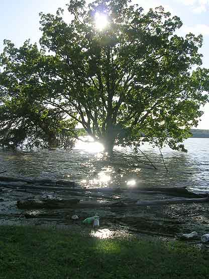 |
Photo
Illinois River empties into Lake Tenkiller, flooding it.
|
|
| Illinois River |
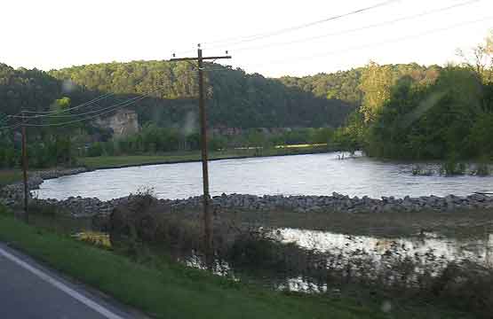 |
Photo
Illinois River recedes.
|
|
| Illinois River |
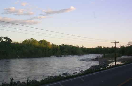 |
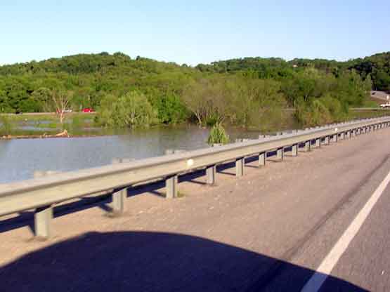
Photo
Highway was underwater.
|
|
| Illinois River |
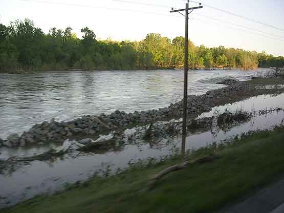 |
Photo
A few feet from road.
|
|
| Lake Tenkiller Floods |
 |
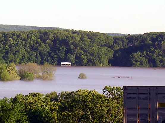
Photo
Lake Tenkiller, day after flooding.
|
|
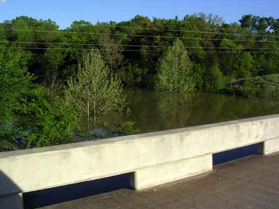
| Cherokee Landing |
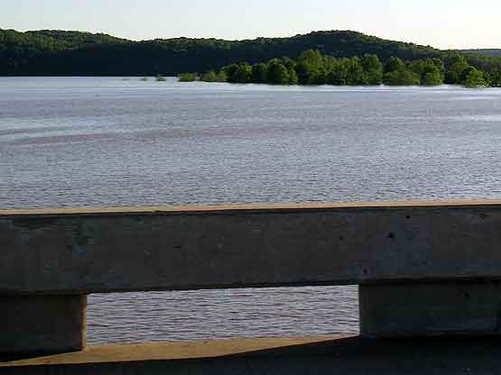 |
Photo
From bridge.
|
|
| Cherokee Landing |
 |
Photo
The metal dock, an island to itself and like... a lonely tree.
|
|
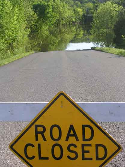
| Cherokee Landing |
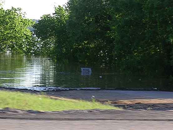 |
Photo
Cherokee Landing's "Road Closed" sign underwater.
|
|
| Cookson |
 |
Photo
Cookson Bend road submerged
|
|
| Sixshooter |
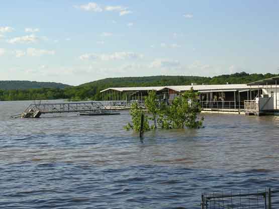 |
Photo
The marina's walkway connects to the park lot. Usually, you step down to walk across. Currently, the step down is facing up.
|
|
| Sixshooter |
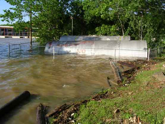 |
Photo
Gas tanks by the second walkway, by the RV parking spots.
|
|
| Sixshooter |
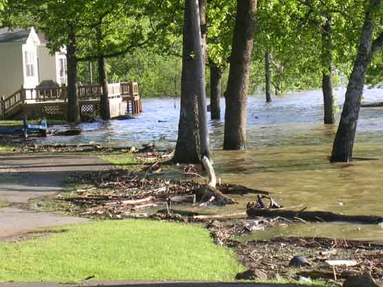 |
Photo
Water reaches bottom of 2 cabins. Debris lines road. Mostly branches.
|
|
| Sixshooter |
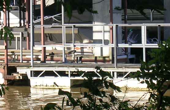 |
Photo
Boats docked. Only visible through trees.
|
|
| Sixshooter |
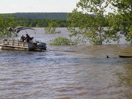 |
Photo
Owner hauling trees off submerged parking lot with boat.
|
|
| Cookson |
 |
Photo
Creek almost to bridge outside Cookson Bend
|
|
| - 2011 - 04 - 26 - |
| Illinois River Flood |
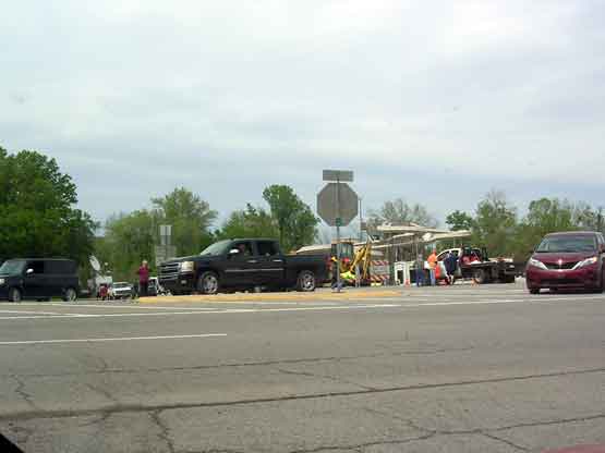 |
Photo
Road closing strands drivers and floods road with reporters
|
|
| < PREVIOUS.............................................................................................................................................................................NEXT > |
|